This post is part of a series on my visit to Seoraksan National Park on the fifth day of my Holiday in Seoul, Korea. If you haven't read the first part, that's here: Korea day 5 part 1 - Route 7 through Sonyang-myeon.
Next the bus drove past the Korail Naksan Training Centre (Hangeul: 코레일낙산연수원). I think that Korail employees along with their families must live here while they are in training, as the complex includes mini golf and a sports arena.
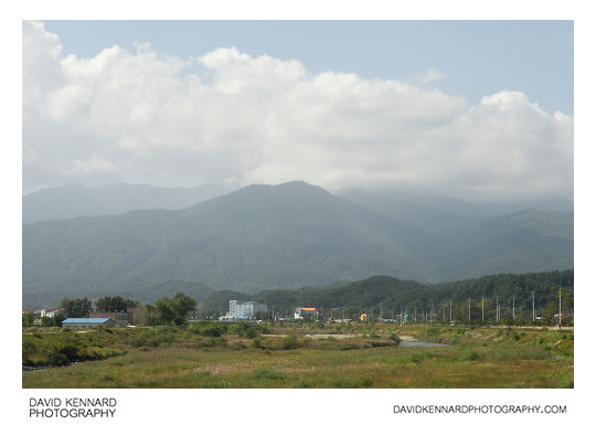
A bit further along, and we cross Mulchi bridge (Hangeul: 물치교), which goes over a river marking the border between Mulchi-ri (Hangeul: 물치리; Hanja: 沕淄里) to the north and Jeongam-ri (Hangeul: 정암리; Hanja: 釘岩里) to the south. Again, you can see the large mountains of the Taebaek Mountain Range in the distance.
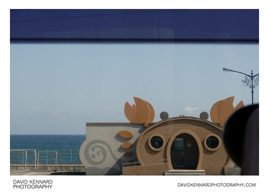
Looking out the other side of the bus, I just managed to snap a shot of this building shaped like a crab (above).
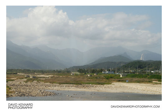
Still on the National Route 7 Highway (Hangeul: 국도 제7호선), we cross the Ssang bridge (Hangeul: 쌍천교) over the Ssang River (Hangeul: 쌍천; Hanja: 雙川), which marks the boundary between Ganghyeon-myeon (Hangeul: 강현면; Hanja: 降峴面) to the south and Sokcho-si (Hangeul: 속초시; Hanja: 束草市) to the north.
You can see in the photo above that there are various circular concrete structures in the river area, and a small building in the right of the river area. When we were visiting in late summer / early autumn the rivers were pretty dry, but I'm pretty sure the river would be flowing down here quite fast when the snow melts in the spring. So I'm not sure what those structures were built there for?
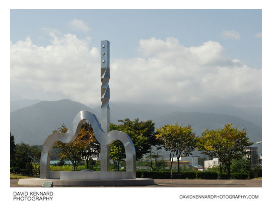
Seorak Sunrise Park (Hangeul: 설악해맞이공원) is located on the coast in south-east Sokcho, and is meant to be a great place to watch the sun rise over the Sea of Japan. The park features a variety of sculptures, one of which you can see in the photo above.


Leave a Reply